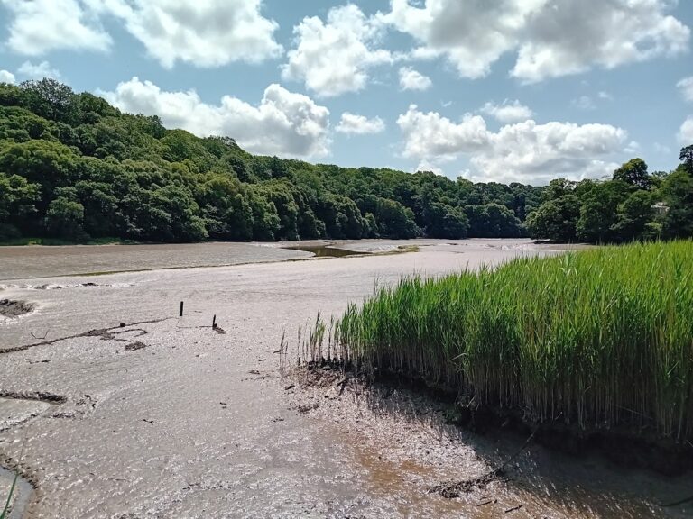
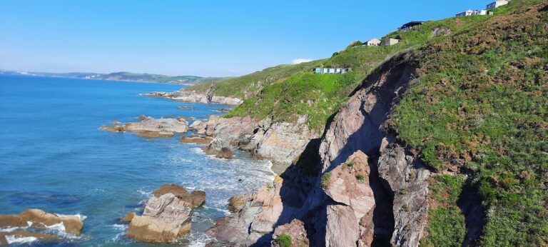
Cornwall is known for its beautiful coastline which stretches over 700 km and encompasses high rocky cliffs, long expanses of sandy beach, dune systems and rocky coves and inlets. Many communities in Cornwall are coastal communities, and they are likely to grow in the coming years to accommodate the greater demand for housing and living space. It is therefore essential that coastal erosion and coastal change issues are taken into account when determining the suitability and appropriateness of such development.
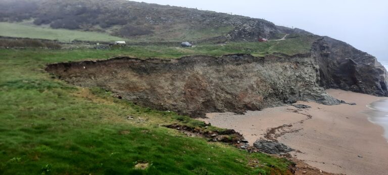
Rates of erosion and incidents of flooding are set to increase in the coming years with anticipated sea level rise and increasing storm activity as a result of climate change and global warming. Over time this can lead to permanent changes in the position and shape of Cornwall’s coastline. This will need to be addressed as part of the planning process to ensure that development in vulnerable areas will be sustainable and safe, and will not result in an increase in third party risks by impacting and changing natural coastal processes.
The Coastal Vulnerability Assessment forms part of guidance developed in response to the National Planning Policy Framework (2018). The NPF requires plans to identify Coastal Change Management Areas (CCMAs) which are areas likely to be affected by physical changes to the coast.
The plan is for CCMAs to be designated around the coast of Cornwall where rates of shoreline change are anticipated to be significant over the next 100 years. These areas will be presented on The Cornwall Coast Vulnerability Map, which will be viewable in the future on the Council’s online interactive map (https://map.cornwall.gov.uk/website/ccmap/). However, this is still an ongoing process and the Cornwall Coast Vulnerability Map is not yet viewable. Contact Slope Stability Southwest if you are concerned your property might be within a Coastal Change Management Area.
The Coastal Vulnerability Assessment
If your property is within a Coastal Change Management Area or an area likely to be affected by coastal erosion, then a Coastal Vulnerability Assessment may be required for any new development, or replacement of existing dwellings.
Any such proposed development in these areas would need to demonstrate:
Refer to our Services page for further details and costings for Coastal Vulnerability Assessment.
Do I need a Coastal Vulnerability Assessment?
If you have concerns as to whether your property is with a Coastal Change Management Area, or is likely to be affected by coastline erosion, then call or email Slope Stability Southwest, and we can take a look at your property (free of charge) for you.
Replacement dwellings?
Replacement dwelling may still need a Coastal Vulnerability Assessment to show that the replacement dwelling is protected from coastal erosion for the anticipated design life (typically 100 years).
When is a Coastal Vulnerability Assessment not required?
Exemptions to developments requiring Coastal Vulnerability Assessment include:
For further details, contact Slope Stability Southwest or refer to ‘The Chief Planning Officers Advice Note: Planning for Coastal Change.’